Loading course details…
ENVS 406Remote Sensing
University of Alaska Southeast · 3 credits · UGRD
Catalog
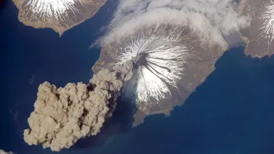
Identification, interpretation and measurement of physical and cultural features using remotely sensed data. Explore image enhancement and analysis, applications of remote sensing to different scientific disciplines, and an introduction to raster-based GIS.
Recent sections
Fall 2026 · 1 section
Aug 24 – Dec 12
| Section | Days & time | Location | Instructor |
|---|---|---|---|
| J01Class #70312 | Tu Th · 10:00 – 11:30 AM | Anderson 203 | Sanjay Pyare |